Geophysical surveys help gold exploration teams decide where to map, sample, or drill next. Electrical resistivity can help map structures and alteration where they produce measurable contrasts. Induced polarization (IP) can highlight chargeable materials such as disseminated sulfides, while transient electromagnetics (TEM) can help trace conductive targets. Magnetic and gravity surveys can add information about host rocks, structures, and density contrasts. The choice depends on the expected response of the target and surrounding rocks, as well as survey geometry, ground conditions, and noise.
The eight providers below are listed in editorial order. Compare them against the survey you plan to run, including the instrument configuration, field quality-control tools, data export, and processing workflow.
Geomative
Founded in 2011, Shenzhen-based Geomative develops geophysical instruments and software for field acquisition, processing, and interpretation. The company reports serving customers in more than 50 countries and regions.
Core technologies and products. Geomative’s GD range includes the modular GD-10 and the GD-12, GD-22, and GD-32 resistivity and IP systems. The GD-12 has one receive channel and a maximum transmit power of 7.2 kW. The GD-22 and GD-32 have six and twelve receive channels respectively, with maximum transmit power of 15 kW. These three models list 24-bit A/D conversion, 140 dB dynamic range, and selectable 50 Hz or 60 Hz power-line rejection of at least 120 dB. The GD-22 and GD-32 support full-waveform acquisition. Both also list support for more than 1,000 electrodes with compatible expansion hardware. Electrode capacity describes the size of the array that can be addressed, while receive-channel count describes how many measurements can be acquired in parallel.
The GT-10 TEM system is designed for mineral surveys that investigate conductive targets and geological structures. Its useful depth depends on the transmitter setup, target size and conductivity, overburden, and field noise.
Software and field workflow. DIGspace supports ERT inversion, 3D visualization of supported datasets such as ERT, GPR, and borehole logs, and web-based project collaboration. Geomative Studio exports GD-10 survey data in formats including TXT, Excel, DAT, and URF. The GD-10’s field display allows crews to review measurements and repeat questionable readings before leaving the survey line.
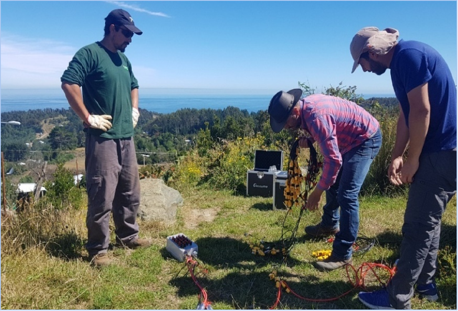
Field application in Brazil. In Pará, Geomative’s published case describes a GD-10 Supreme 2D+/3D+ high-density survey configuration using 24 non-polarizing electrodes. The project used electrical surveying to investigate anomalies in an area considered prospective for mineralization. Those results can guide follow-up work, with geological sampling, drilling, and assays used to establish whether a target contains gold mineralization.
Geometrics
Geometrics supplies magnetometers and seismic instruments. In gold exploration, magnetic surveys can help trace faults, lithological contacts, and changes in magnetic mineral content. The value of the method depends on whether the expected geological features produce a measurable magnetic contrast.
Advanced Geosciences, Inc. (AGI)
AGI’s SuperSting Wi-Fi family supports electrical resistivity and IP measurements in single- and multi-channel configurations. An exploration team can use these measurements to compare resistivity patterns with chargeability anomalies when evaluating possible sulfide-bearing targets.
Zonge International
Zonge International provides geophysical instrumentation and survey services for resistivity, IP, and electromagnetic methods. Its IP survey workflows use resistivity and chargeability together to investigate competing explanations for an anomaly, such as sulfides, graphite, clays, or alteration.
IRIS Instruments
IRIS Instruments supplies resistivity and IP equipment such as the Syscal Pro for sounding and profiling. Teams comparing systems for electrical surveys should check the electrode switching configuration, transmitter options, and software support for their planned array.
Guideline Geo (ABEM)
Guideline Geo’s ABEM Terrameter LS 2 is a configurable resistivity and IP imaging system. For a mineral survey, compare the available acquisition configurations and electrode switching accessories against the planned line lengths, electrode spacing, and survey schedule.
Phoenix Geophysics
Phoenix Geophysics supplies magnetotelluric (MT) and controlled-source electromagnetic equipment. MT can help characterize the conductivity of deeper geological structures where that information is relevant to the exploration model. Its usefulness depends on the scale and electrical contrast of the target.
Scintrex
Scintrex supplies gravity and magnetic instruments, including the CG-6 gravimeter. Gravity surveys can help map density contrasts between rock units, intrusions, or structures. These patterns are most informative when interpreted alongside geological mapping and any available rock-property measurements.
Choosing a Survey Setup
Start with the physical contrast you expect. Consider IP if disseminated sulfides are likely to produce a measurable chargeability response, TEM if the target is expected to be conductive, and magnetic or gravity methods if the exploration model depends on susceptibility or density contrasts. Compare instruments and software once you know which measurements the project needs. Use the results to prioritize targets for geological mapping, sampling, drilling, and assays.
https://www.geomative.com/
Geomative Co., Ltd.
